CIFRI Awards
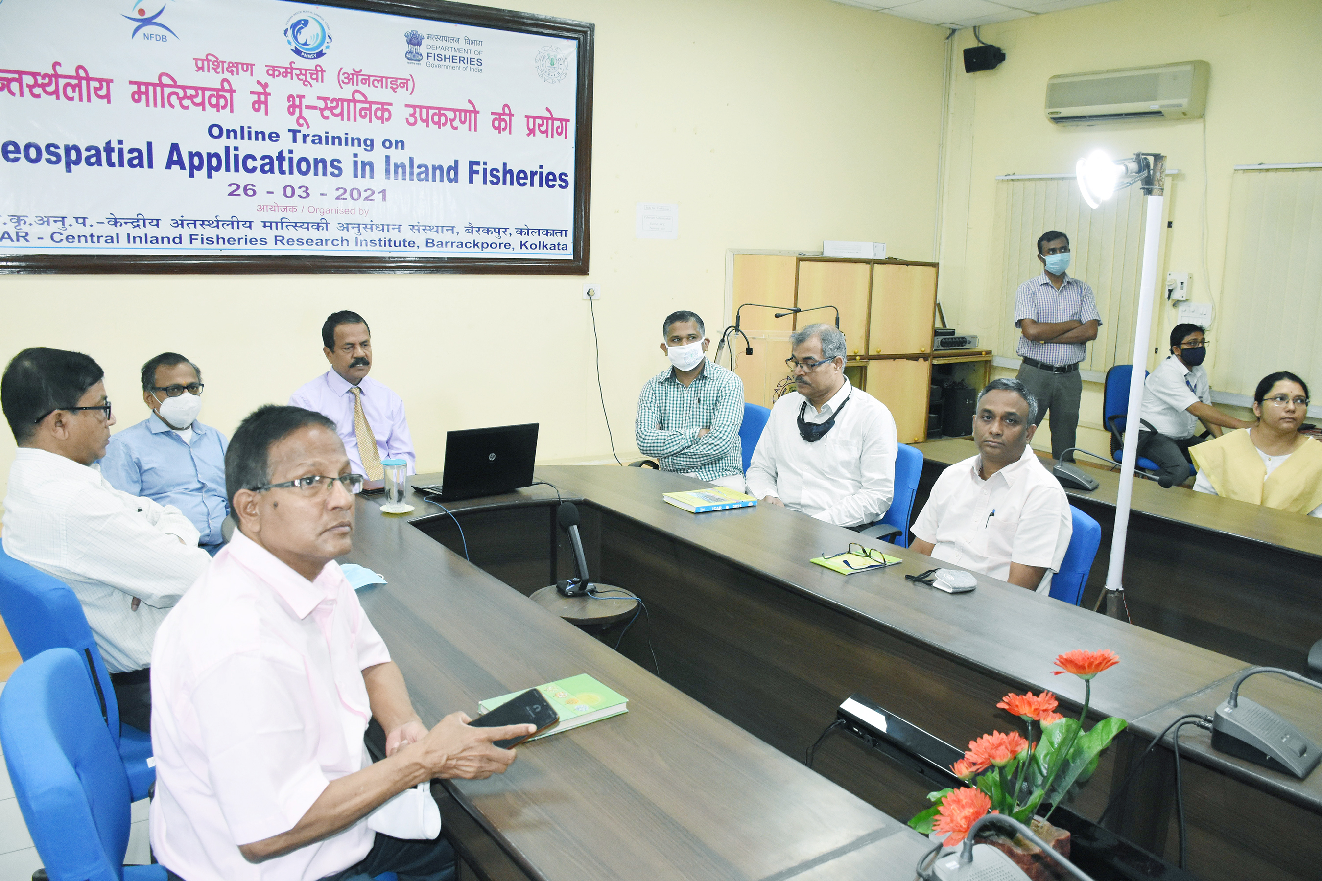
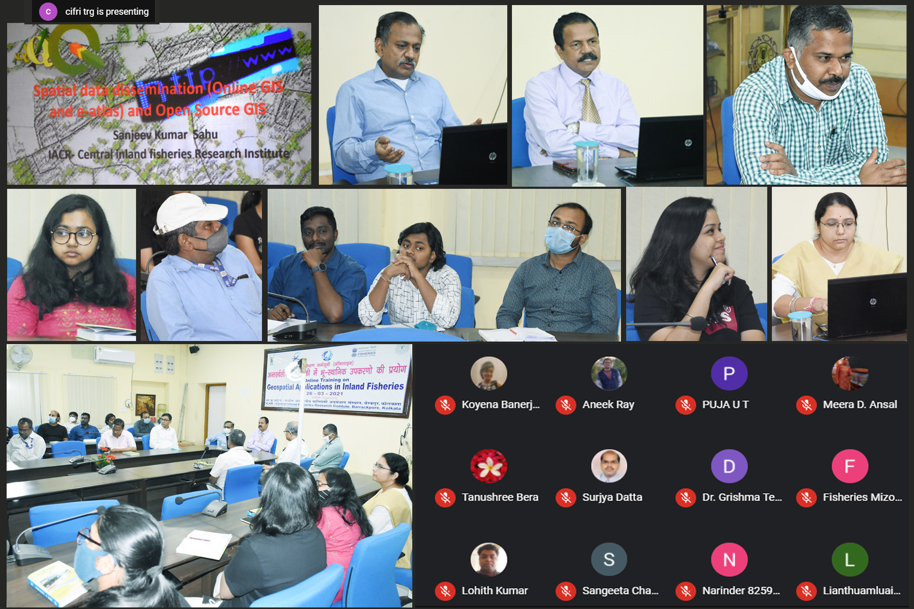
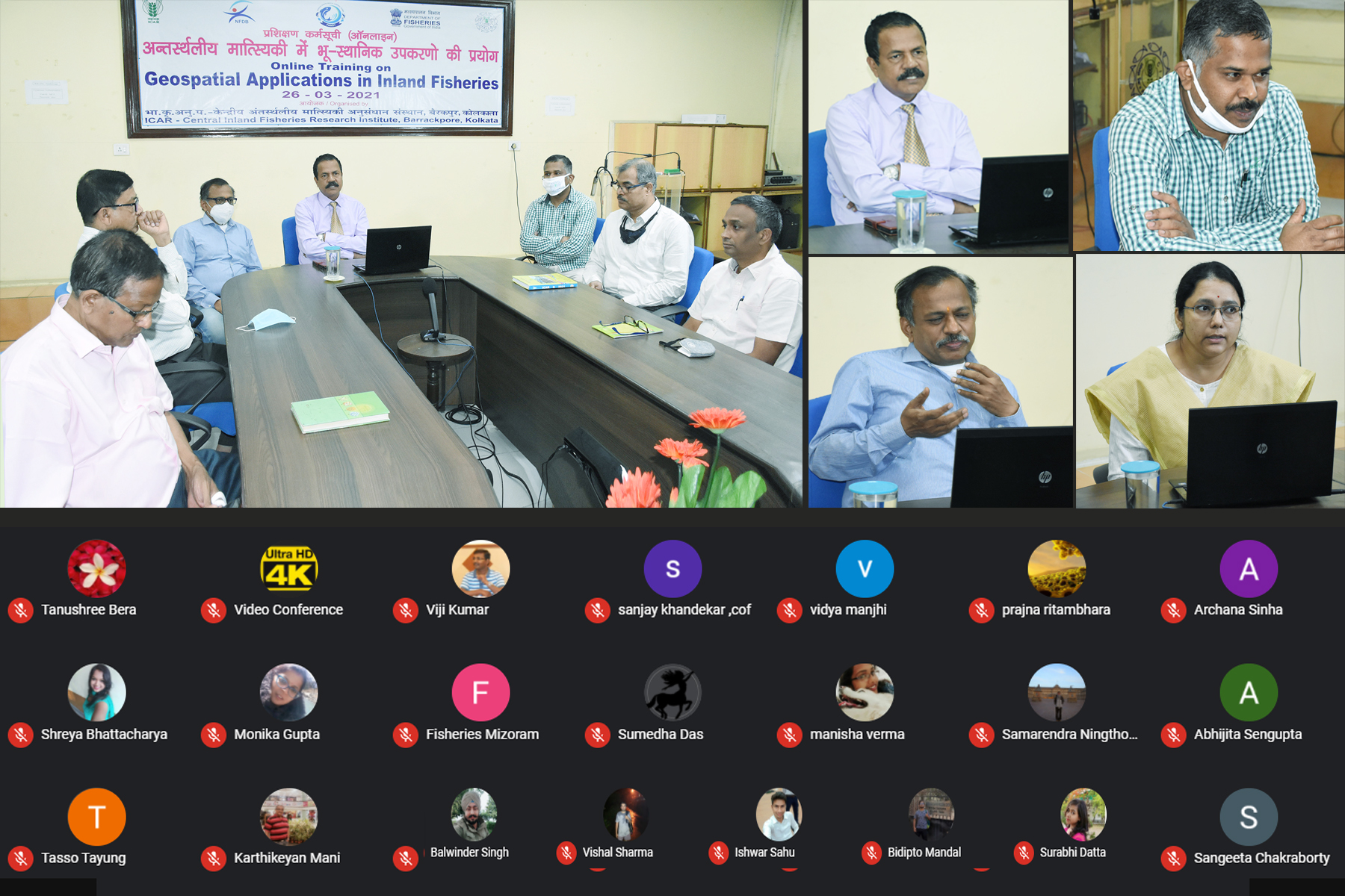
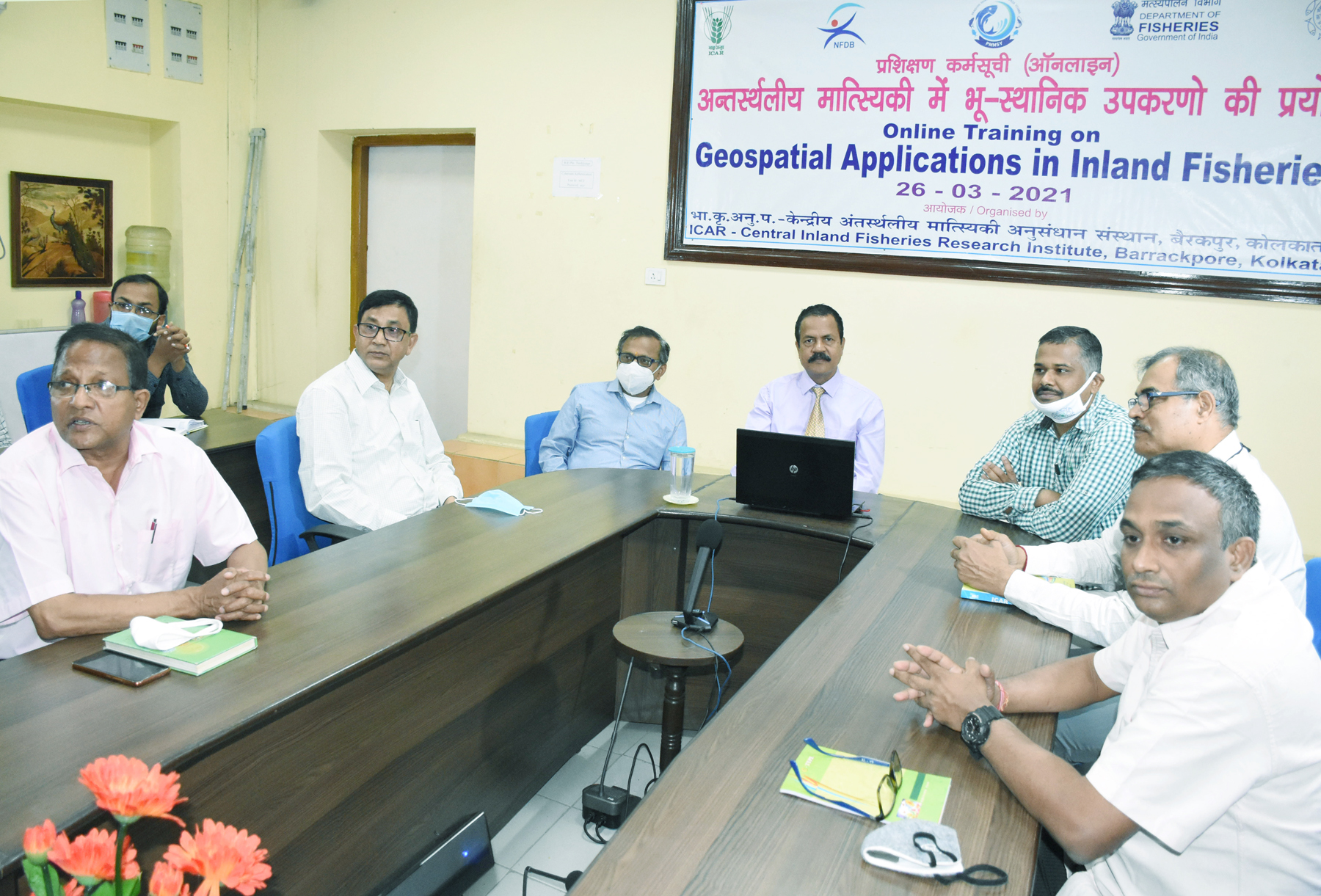
ICAR-CIFRI conducted an online training programme Geospatial Applications in Inland Fisheries on 26th March, 2021 in association with NFDB, PMMSY partnership. The training was conducted under the leadership of Dr. B. K. Das, Director ICAR-CIFRI. Among the august gathering of Head of Division Dr. S. Samanta, HoD, Riverine and Fisheries Division; Dr. U. K. Sarkar, HoD, Reservoir and Wetland Fisheries Division; Dr. B. K. Behera, HoD, Aquatic Environmental Biotechnology & Nanotechnology (AEBN) Division; Dr. S. K. Nag, HoD, Fisheries Resource Assessment & Informatics (FRAI) Division, along with Senior offcials Shri S.K. Sahu and Dr. A. K. Das and Shri Ganesh Chandra from Training & Extension Unit from ICAR-CIFRI (HQ) Barrackpore were present. Several esteemed online participants including Dr. Meera D Ansal, Dean, College of Fisheries, GADVASU; Shri M. Karthikeyan from CIFRI, Regional Centre, Bangalore along with participants from faculties and students of College of Fisheries, OUAT, Odisha; GADVASU, Ludhiana and Kamdhenu University, Chhatisgarh. A total of 70 active staffs (50 online and 20 offline) from CIFRI and other universities have participated in the online mode. Dr. B.K. Das, Director, CIFRI inaugurated the programme and presented the achievements of CIFRI in application of geospatial techniques in inland fisheries. He gave an overview about the Remote Sensing and GIS methodologies applied by CIFRI and the achievements made. He gave an outline about the various works done by CIFRI with respect to applied geospatial techniques in managing inland waterbodies. Dr. P. K. Parida gave an over view of GIS application for various fisheries aspects and how various spatial and temporal data can be presented in GIS platform and the benefit of GIS application. Dr. S. K. Sahu presented the open source software vs paid GIS soft ware and explained the plus points of both the softwares Ms. Manisha explained about the general concept of GIS and Ms. Tania described about the data presentation on GIS. All the participants were clarified for their queries during the interactive session. The overall programme was well coordinated by Dr. A. K. Das, E & T Cell with the supports of Co-coordinators by Shri S. K. Sahu Sr. Scientist and Dr. P.K. Parida, Scientist of the Institute. The programme was assisted by Mr. Avishek Saha, TA, and Md. Naim, TA of ICAR-CIFRI, Barrackpore.